Create running and trail routes in GPX | Altipion
About this site
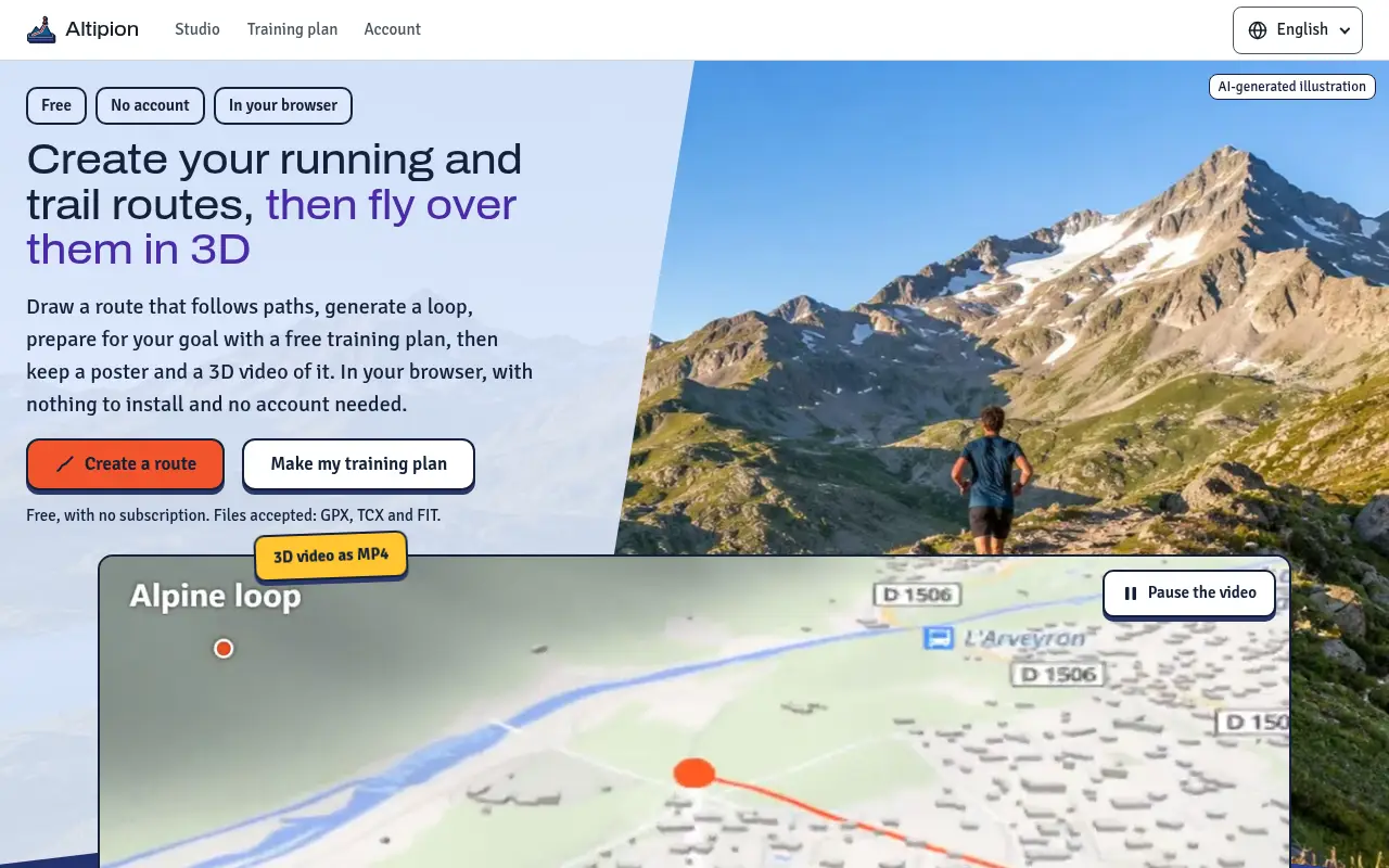
Altipion is a browser-based studio for creating running and trail routes, made in France by a sole trader named in the legal notice. Routes are worked out from OpenStreetMap data, and training plans from written rules based on cited sources. The site states that no account is needed and that the tools are free, with no subscription.
The studio lets users draw a route that follows paths by clicking on the map, choosing the fastest, shortest, least climbing option, or trails over roads. It can generate a loop of a chosen distance or km-effort and terrain (flat, hilly or mountain), offering three loops with a table of gains and losses. It also produces a free training plan from a questionnaire covering goals such as a road race from 5 km to the marathon, a trail race, a long day hike, a trek over several days, a long bike ride, or walking more. Sessions give paces or an effort out of 10, and the plan can be added to a calendar (.ics) or printed. Users can open GPX, TCX and FIT files to see a 3D map, elevation profile and figures, and make an A3 poster in light, night or alpine themes (SVG or PNG) or a 3D MP4 video in 16:9 or 9:16, 720p or 1080p, 10, 20 or 30 seconds.
It is aimed at runners, trail runners, hikers and cyclists planning outings and training. The plan is described as general advice for adults in good health, not medical advice. Files opened are read by the browser and not uploaded; map and relief tiles are downloaded, and the address search goes through the site's server. The optional account copies the plan and imported outings to the server, never health answers.
Alpine paths are known so far only in PACA and the former Rhône-Alpes region, where they are used only on request; elsewhere cliffs and hard-to-follow paths are not checked. Motorways and private ways are left out, and routes remain indicative.
Written automatically from the site’s own pages. Something wrong? Email hello@firstindexed.com and we’ll correct it.
Create running and trail routes in GPX at a glance
Create running and trail routes in GPX is a fitness & sports website at altipion.com, based in Switzerland and written in root. FirstIndexed first detected it live on 16 Nov 2026 and listed it on 20 Nov 2026. The owner of altipion.com hasn’t claimed this listing yet.
Create running and trail routes in GPX scores 77 out of 100 for AI readiness, grade B. It loses 23 points; the biggest gaps are 10 for contact details not written as text, 5 for no llms.txt and 5 for no sameAs links.